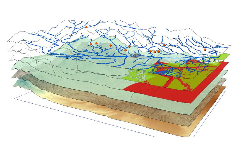
GIS
During army basic training, I got interested in maps and navigation. Besides the usual training, I started to participate in some competitions which contained an orienteering or navigation factor. Also, in the 1990s, German states started to sell topographic maps on DVD. The software was pretty rudimentary then but it did included a basic API and I started playing with it.
Nowadays, I use GIS a lot in everyday life. I record all my dogwalks and bicycle movements as GPX data and store them on a server in my homelab. I use QGIS to analyze the data as well as to plan hiking trips and to record wildlife encounters.
Naturally, my weather hobby and my weather website include quite a bit of GIS work and in October 2022, I started working with mapserver, first to create a mobile emergency off grid WMS map server based on Raspberry Pi and further exploring the use of it for serving satellite imagery for my nature hobby.
Links
- QGIS: https://www.qgis.org/
- MapServer: https://mapserver.org/
